
1960's
Purchase of land in Izard County
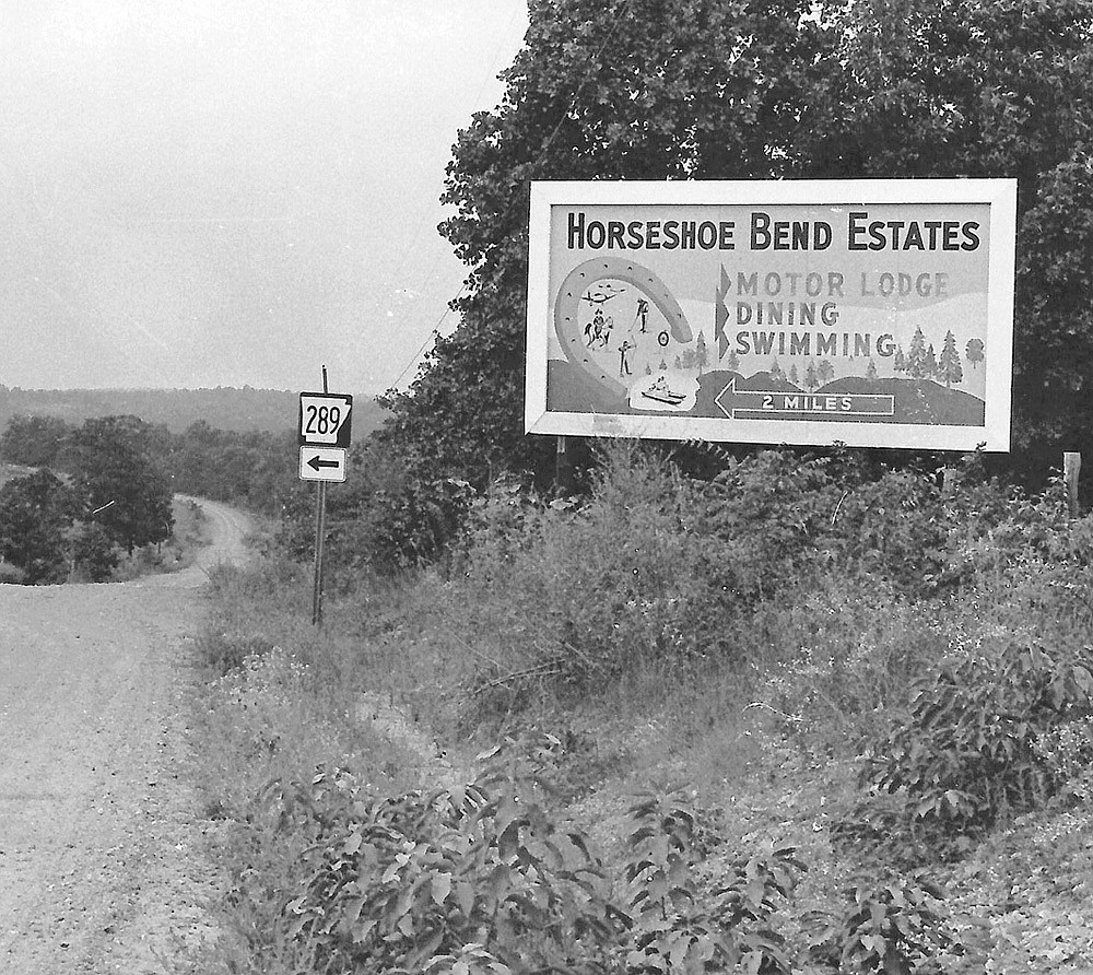
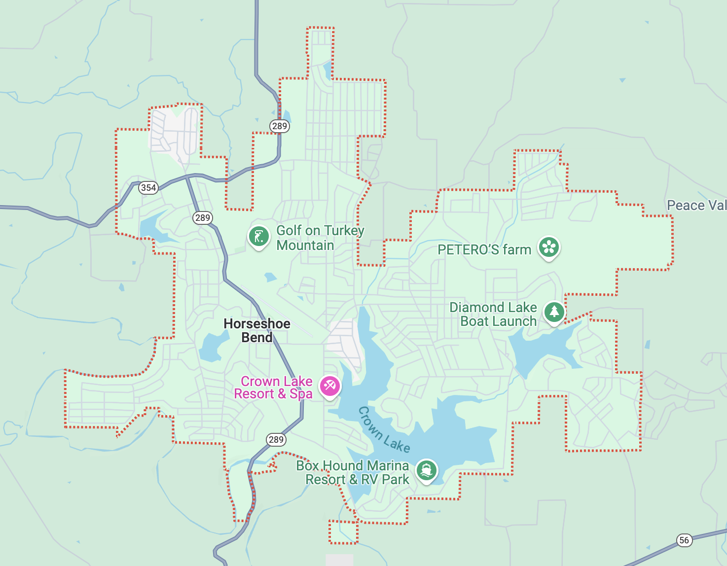
In the early 1960's, Bill Pratt, a businessman from Little Rock and his brother, Dick, started purchasing land in a wooded area of Izard County, just north of the town of Franklin. “We bought it as a hunting and fishing place,” Bill said. The Pratts were quail hunting on the knob one day when they decided to build a community there. Starting with 5,000 acres, they platted the town of Horseshoe Bend, naming it for a bend in the nearby Strawberry River. The town eventually grew to 14,000 acres. Bill was in real estate and construction in Newport. Dick was an attorney in Little Rock. Bill said they expected to sell lots to retirees or people planning to retire soon. They laid out four subdivisions, built roads and put in utilities and water lines.
1961
Construction of Gobblers Knob
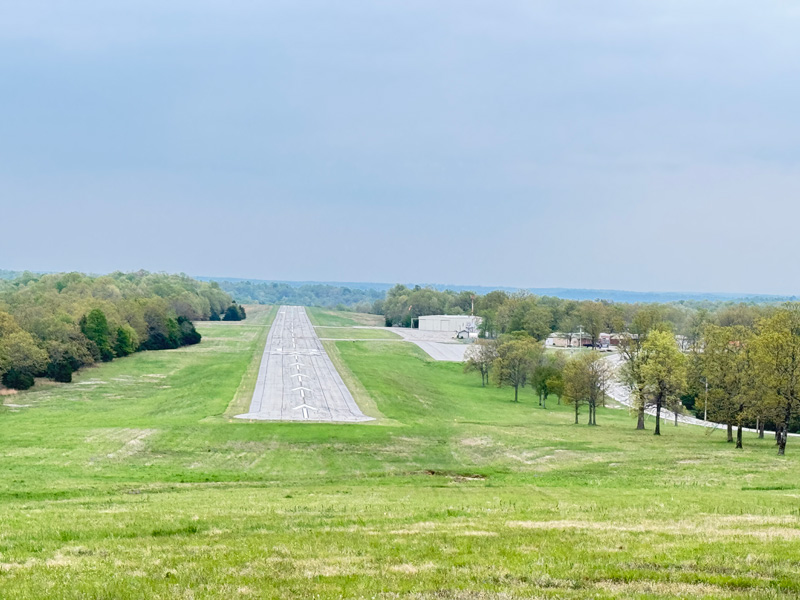
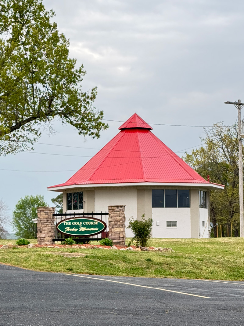
A feature called Gobbler’s Knob, frequented by local hunters, was converted into the Turkey Mountain Golf Course. Construction began in 1961, and the first nine holes were open to the public in 1963; the remaining nine holes were finished in 1971.
1960's - 1970's
Development of the City
In 1967 approximately 60,000 visitors were attracted to the area for development of a retirement community by selling lots. The Pratts employed a sales team that at one time had 100 employees. Prices for lots started at $200. In a few years, the lots were selling for $5,000 to $15,000, depending on their location. By 1974, they had sold 12,000 lots. Meanwhile, the city of Horseshoe Bend was incorporated in 1969.
Present
Overcoming Growth Challenges
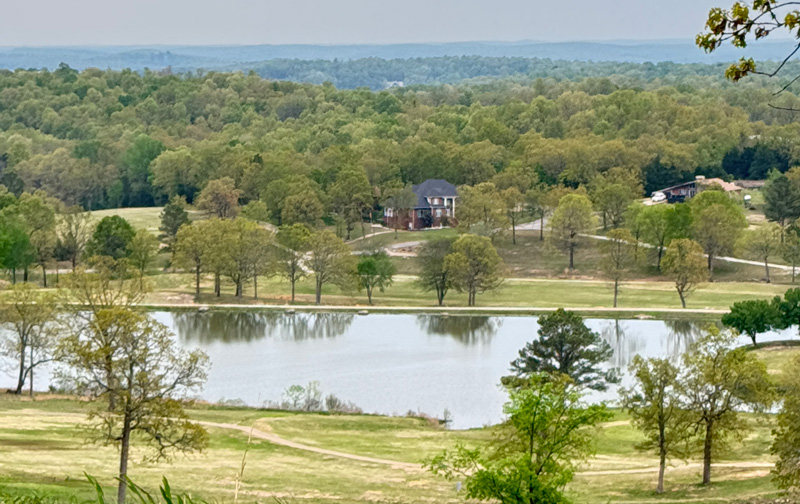
The city of Horseshoe Bend has had it's fair share of challenges. The community is still centered around retirees while working on creating opportunities for a younger generation. It has two golf courses and several lakes featuring fishing, boating, and other recreational activities. The largest lake, Crown Lake, covers 640 acres. The Mayor, Council and residents, care deeply about the success of Horseshoe Bend and strive on a daily basis to improve upon the amenities and resources this great rural city has to offer.